
Summertime allows me to venture into the high country of the Sierra Nevada mountain range and assess river and stream conditions for CSPA. Last week, I made my way up to the Silver Fork American River. The El Dorado Hydroelectric Project (Federal Energy Regulatory Commission Project no. 184) controls summer flows in the Silver Fork. The project operator, El Dorado Irrigation District (EID), also operates connected waters for water supply. CSPA has recently assigned me to work on this project.
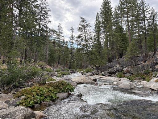
Looking downstream near the bridge. Photo taken in 2026. Image: Eric Woodruff
In fly fishing lingo, the Silver Fork American River is a “tailwater” system, meaning that its flows are mostly controlled by dam releases. In this case, there are two dams that release water into the Silver Fork American River. One is at Silver Lake, and the other is at Caples Lake. Both of these reservoirs are on State Highway 88.
Dam releases from Caples Lake flow into Caples Creek and run about nine miles to the confluence of the Silver Fork American River. Silver Lake releases flows into the Silver Fork American River, which run about four miles down to the confluence. Leakage from Silver Lake into Oyster Creek accounts for most of the Silver Fork’s summer flow until mid-September. Additional sources of flow occur naturally from snowmelt, spring-fed tributaries, seasonal flow in the North Fork Caples Creek, and weather events. Upstream of the confluence, both streams are rugged canyon fishing with limited trail access.
My angling survey started at a bridge just upstream from Gray Rock Campground on the lower Silver Fork. The scenery was predominantly great, aside from a lot of trash (mostly toilet paper) near the bridge. As always, I took out a garbage bag, put on some gloves, and did what I could near the parking area and shoreline. Predictably, the shoreline trash decreased with distance from the bridge.
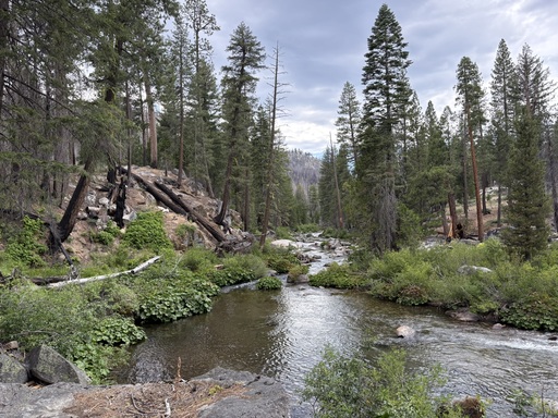
A reach near Gray Rock Campground. Photo taken in 2026. Image: Eric Woodruff
After my cleanup effort, I strapped on my wader boots, grabbed my fly rod(s), and hit the water. I started casting a dry-dropper rig near the bridge and had a lot of very young and eager wild rainbows come up for the stimulator pattern. It was fun for a bit…but I knew I’d have to get away from the easy fishing access near the bridge and cover some water to find bigger fish.
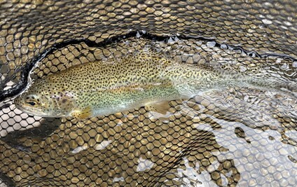
Silver Fork American River rainbow trout. Photo taken in 2026. Image: Eric Woodruff
Downstream and upstream of the bridge, I ran into larger rainbows. All of them took the Copper John dropper below the stimulator pattern. This reminded me to take some water temperature measurements. I recorded consistent 69°F readings near the surface, which is way too warm! Then I tied the thermometer to a wader boot and got into some deeper water. As discovered in past field outings, there was a 3-4°F decrease on the bottom. I did my best to fish deeper waters with good canopy to cause less stress to the fish.
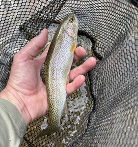
Releasing a Silver Fork American River rainbow trout. Photo taken in 2026. Image: Eric Woodruff
The next day, I decided to bushwhack and boulder hop into some reaches upstream of the confluence of Girard Creek. This area was a bit more exposed to the elements due to the effects of the Caldor Fire that raged through the canyon in August and September of 2021. Although it was exposed, I was pleased to not run into any trash. I quickly found some deep holes for nymphing.
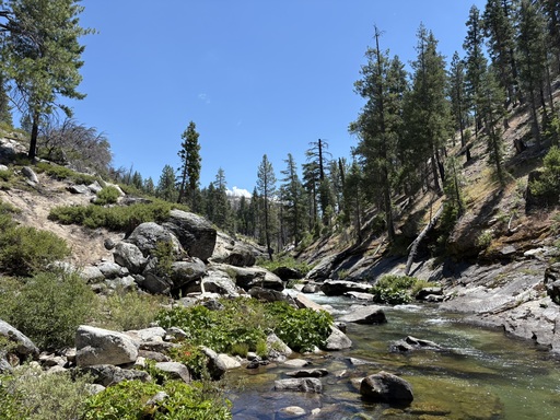
A reach upstream of the confluence of Girard Creek. Photo taken in 2026. Image: Eric Woodruff
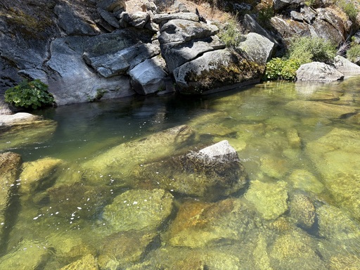
A deep hole with cover on the Silver Fork American River. Photo taken in 2026. Image: Eric Woodruff
The damage that the Caldor Fire caused is undeniable when you’re taking in the sights of the Silver Fork American River. It made me think about what wildfires do to streams and fish.
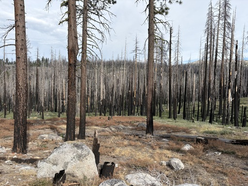
Wildfire effects from the Caldor Fire. Photo taken in 2026. Image: Eric Woodruff
First, sediment and debris increase due to a lack of ground vegetation that once held back objects from entering the stream. “Fire-induced changes to hillslope processes and hydrogeomorphic fluxes can lead to variable and in some cases dramatic changes to channel morphology” (Busby and Wilcox, 2024). Erosion can significantly impact a river when rain and barren landscapes collide.
Second, loss of canopy increases water temperatures due to direct sun exposure. This generally worsens in spring and summer and can accelerate snowmelt in winter.
Third, streamflow during runoff increases after wildfires. This is because of a decrease in soil water retention when there is no vegetation to slow surface runoff (Columbia Climate School, 2022).
Fourth, fish kills can occur due to the chemical pollution and debris that enters the river.
Fifth, fires can cause loss of suitable aquatic and riparian habitat.
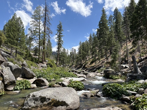
A reach downstream of Silver Fork Campground. Photo taken in 2026. Image: Eric Woodruff
With these impacts in mind, I was still very happy to catch so many fish in an area that was clearly devastated by an intense wildfire. Many areas of the river, riffle, run, bucket, and tailout, held beautiful rainbow trout.
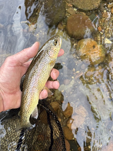
Releasing another beautiful Silver Fork American River rainbow trout. Photo taken in 2026. Image: Eric Woodruff
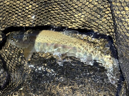
Silver Fork American River rainbow trout in the fishing net. Photo taken in 2026. Image: Eric Woodruff
The flows in the Silver Fork and Caples Creek are a success story of the relicensing of the El Dorado Hydroelectric Project in 2000-2003. There are good flows from June through September. The flows help keep water temperatures low enough to keep trout in good shape.
That said, the Silver Fork American River has been through a lot, and it will continue to experience hardships. The amount of trash I came across in easily accessible areas was disheartening. I will be reporting these conditions to the El Dorado National Forest in hopes of improving oversight and cleanup.
But there were also signs of the landscape returning to life. The ground cover was replenishing, and saplings were growing in heavily burnt groves.
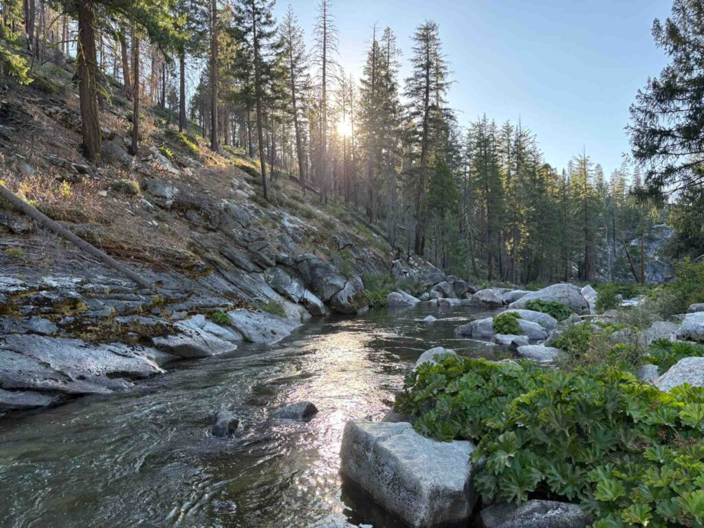
A farewell glance at the Silver Fork American River. Photo taken in 2026. Image: Eric Woodruff
The fish reminded me of their resilience and the importance of protecting their habitat. My on-the-ground experience will improve my understanding of how EID’s system operates. I’ll keep an eye on this stream and its conditions, and think about them as EID undertakes the replacement of Silver Lake Dam in the next few years.
If this watershed has a special place in your heart, please consider contributing to CSPA’s efforts. We cannot do this work without the help we receive from local stakeholders and others who hold these waters close to their hearts.
References and additional information:
https://andrewsforest.oregonstate.edu/sites/default/files/lter/pubs/pdf/pub5365.pdf
Forest Fires Increasingly Affecting Western Rivers and Streams, for Better and Worse
https://donorbox.org/donate-to-the-california-sportfishing-protection-alliance