
Last month, I was back in the Silver Fork American River watershed, roughly 6 miles east of reaches covered in my previous article. The outing inspired me to write a sequel. But before I give you the skinny on the trip’s fly-fishing adventures, there is a bit of business to discuss.
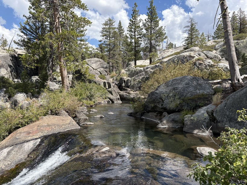
The Silver Fork American River downstream of Silver Lake Dam. Photo taken in 2026. Image: Eric Woodruff
On August 25, 2026, the El Dorado Irrigation District (EID), owner of the El Dorado Hydroelectric Project (Federal Energy Regulatory Commission (FERC) Project no. 184), hosted a tour giving resource agencies and others a firsthand look at two stream bank stabilization projects. One is in the Caples Lake spillway channel. The other consists of two stabilization sites in and alongside Oyster Creek, whose primary water source is leakage from Silver Lake. Oyster Creek contributes most of the summer flow in the Silver Fork American River.
EID implemented, and now maintains and monitors, these restoration projects as part of regulatory requirements under its FERC license. The Caples Lake auxiliary dam intermittently releases water into the Caples spillway channel. Historically, flows caused sustained erosion in the spillway, inducing sediment deposition in Caples Creek.
EID was able to lessen erosion in the spillway channel by stabilizing its banks with rocks and riparian vegetation. The banks can now withstand dam releases of 60 cubic feet per second (cfs) from the Caples Lake auxiliary dam. Also as a condition of its FERC license, EID operates Caples Lake to avoid higher releases into the spillway channel. Since EID’s restoration efforts, flows entering Caples Creek from the spillway are far less turbid.
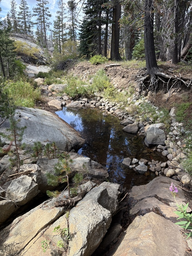
Bank stabilization project site in Caples spillway channel. Photo taken in 2026. Image: Eric Woodruff
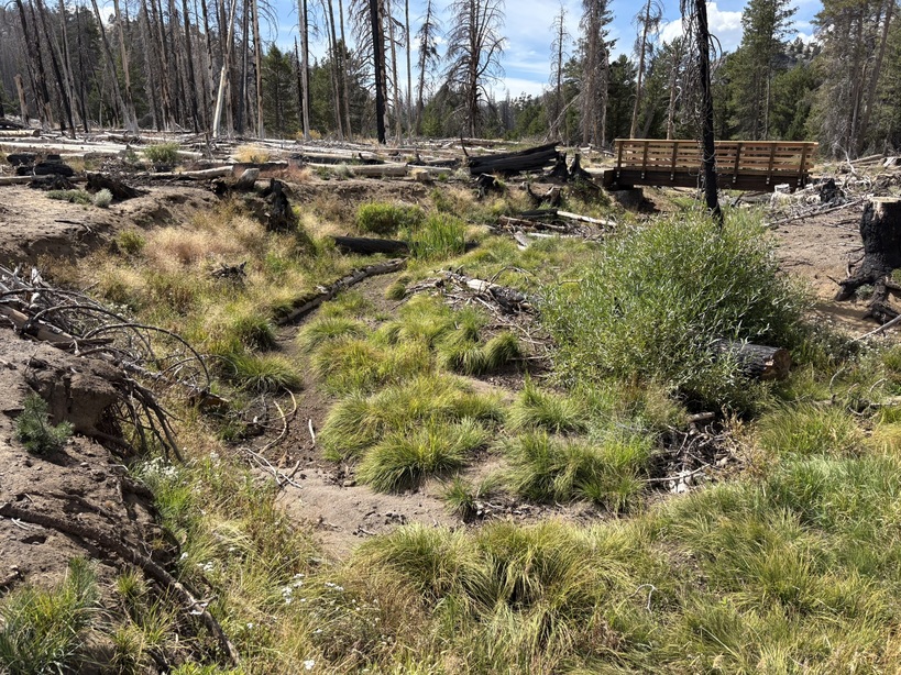
Riparian vegetation grows in old erosion site in Caples spillway channel. Photo taken in 2026. Image: Eric Woodruff
Similarly, in Oyster Creek, EID’s contractors used “bioengineering materials (e.g., coir logs, native vegetation, on-site woody material) and rock” to stabilize high-risk erosion sites (State of California, 2026). In this portion of the tour, I observed more native riparian vegetation stabilizing once heavily-eroded banks and channels in Oyster Creek. I took water temperature measurements close to the source of leakage during the site visit and found temperatures of 58°F—favorable for summertime.
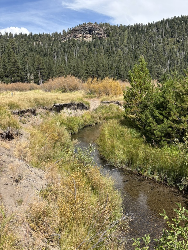
Bank stabilization project site on Oyster Creek. Photo taken in 2026. Image: Eric Woodruff
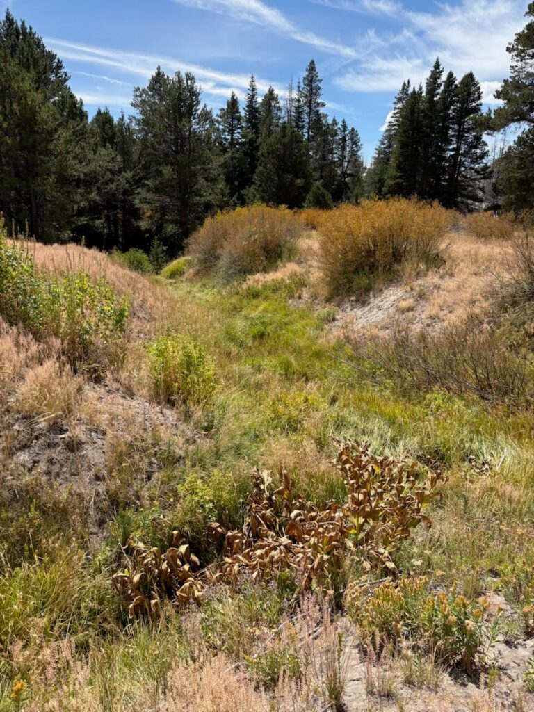
Riparian vegetation grows in a historically eroded channel near Oyster Creek. Photo taken in 2026. Image: Eric Woodruff
Overall, I was pleased with what I saw during the tour of both bank stabilization project sites. EID has decreased the amount of sediment entering Caples Creek and stopped headcuts in Oyster Meadow.
The next day, I organized my fishing gear and hiked down the Silver Fork from Silver Lake Dam. Before starting the trek, I took some water temperature measurements at the Silver Lake Dam outlet. I was alarmed to record consistent readings of 75°F!
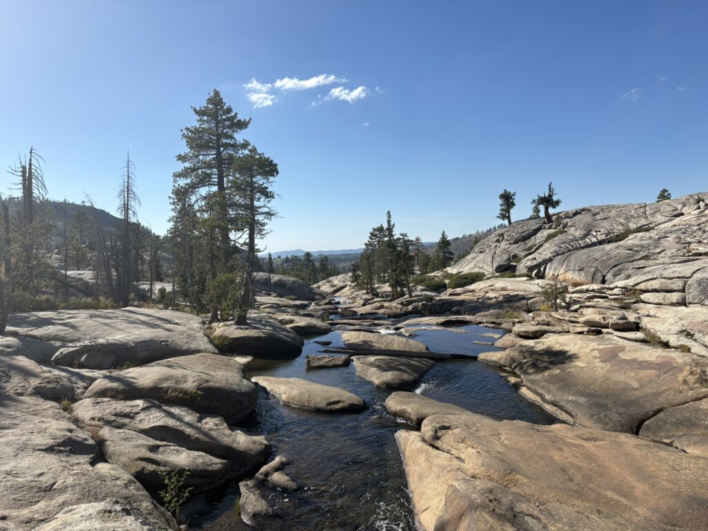
The “Potholes” on Silver Fork American River. Photo taken in 2026. Image: Eric Woodruff
With these incredibly warm water temperatures in mind, I decided to head downstream to the confluence of Oyster Creek in hopes that its cold water coming in from Oyster Creek would bring the temperature down in the Silver Fork. After boulder hopping down to the confluence, I took a water temperature measurement of 60°F in Oyster Creek just before it entered the Silver Fork.
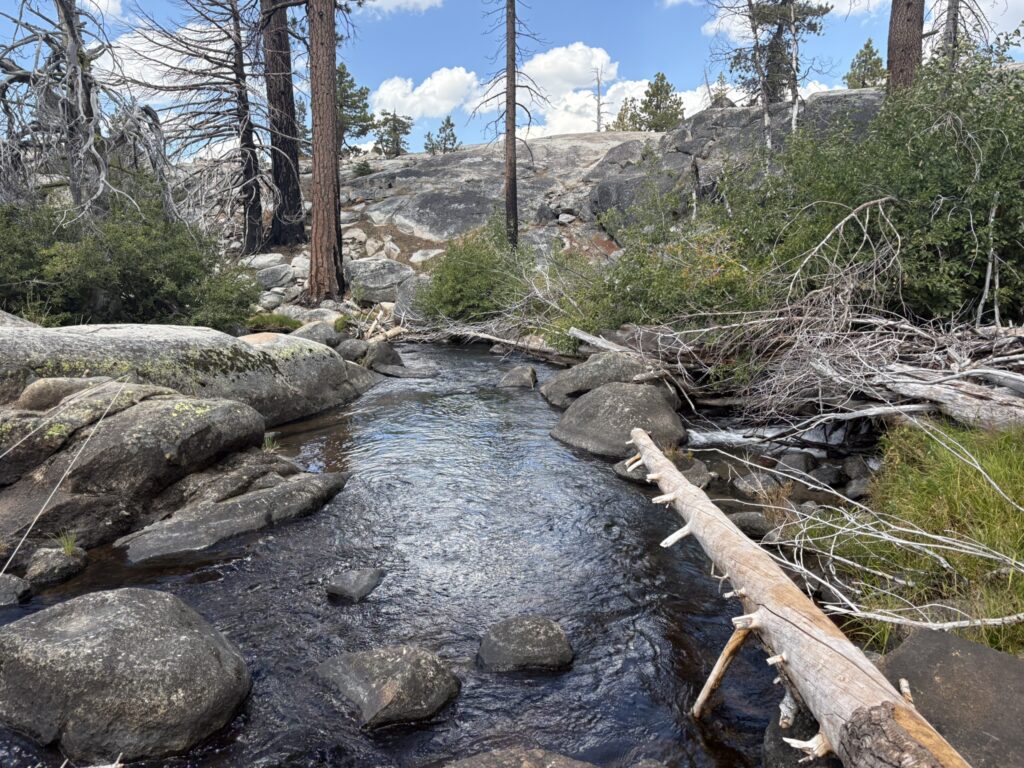
Confluence of Oyster Creek and Silver Fork American River. Photo taken in 2026. Image: Eric Woodruff
That was a good sign. I continued downstream on the Silver Fork to a series of pools that looked fishy. Water temperatures in the pools were better and consistent at 67°F, making me feel better about fishing.
I started fishing in the heat of the day. Like most hot days on the water, I swapped out a dry-dropper for an indicator rig. That made all the difference. I was able to find a few browns and some beautiful wild rainbows drifting a stonefly nymph with soft hackle in tandem.
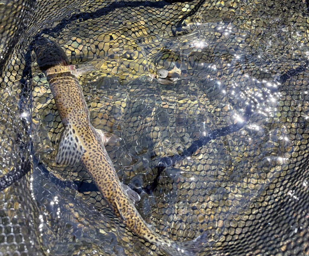
A wild Silver Fork rainbow in the net. Photo taken in 2026. Image: Eric Woodruff
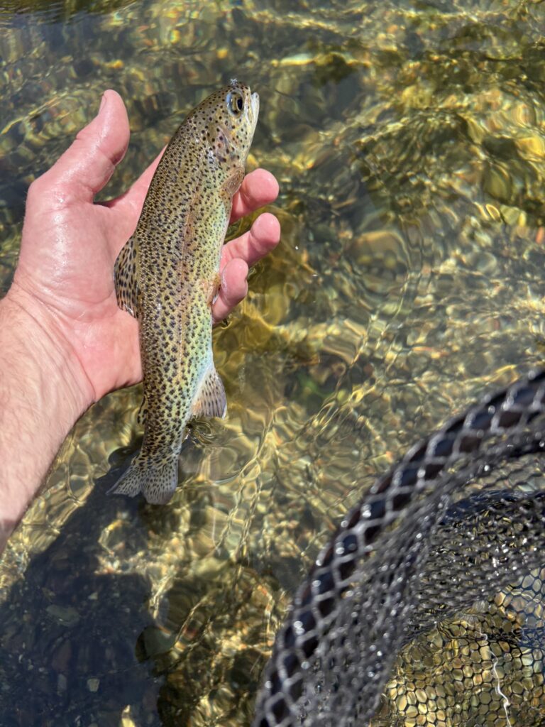
Releasing a wild Silver Fork rainbow. Photo taken in 2026. Image: Eric Woodruff
All in all, it was a good day on the water once I found cooler temperatures.
The trip also made me think about EID’s plans to rebuild Silver Lake Dam. I’m wondering if part of the plan is to draw summer water from a deeper part of Silver Lake that can release colder water into the Silver Fork during the heat of summer.
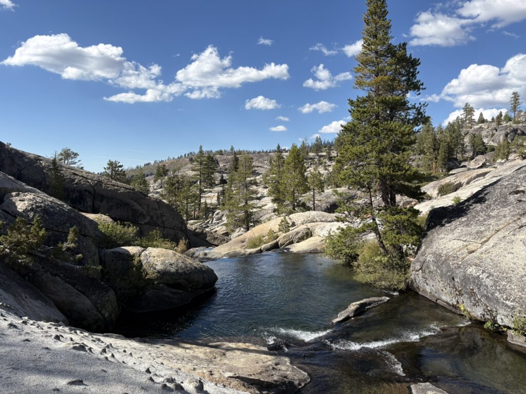
A series of pools in the Silver Fork. Photo taken in 2026. Image: Eric Woodruff
References and additional information: